Norway
My Langevann Hiking Story
My Langevann hike in Norway - an 8 km, 2 hour route through blue-marked trails, Haugelandstrand, forest hills, insects and views from Dyreknuten.
Trail story
Route basics
At a glance
- Distance
- 8 km
- Duration
- About 2 hours
- Difficulty
- Easy to moderate, with steeper forest hills toward Dyreknuten
- Best months
- Spring to autumn
- Start
- Langevann parking and trail information area
- Trail
- Local loop or linked route
- Parking
- Free parking near the route start
NoteInsects, wet forest ground and route choices can affect the experience. Check current local conditions before leaving.
On this page
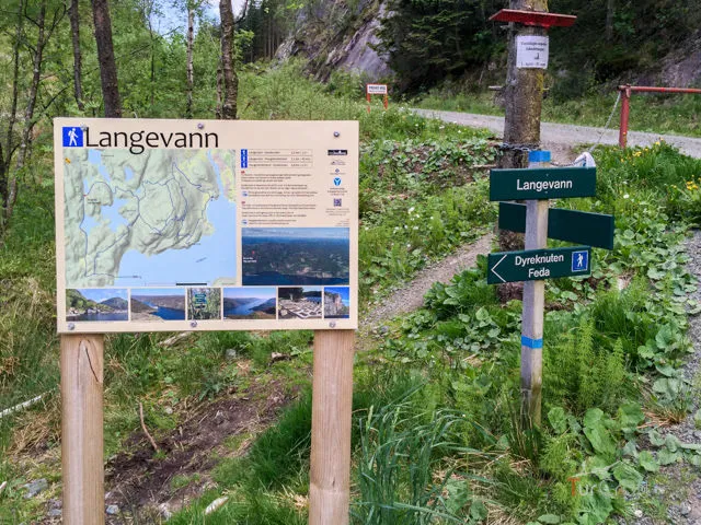
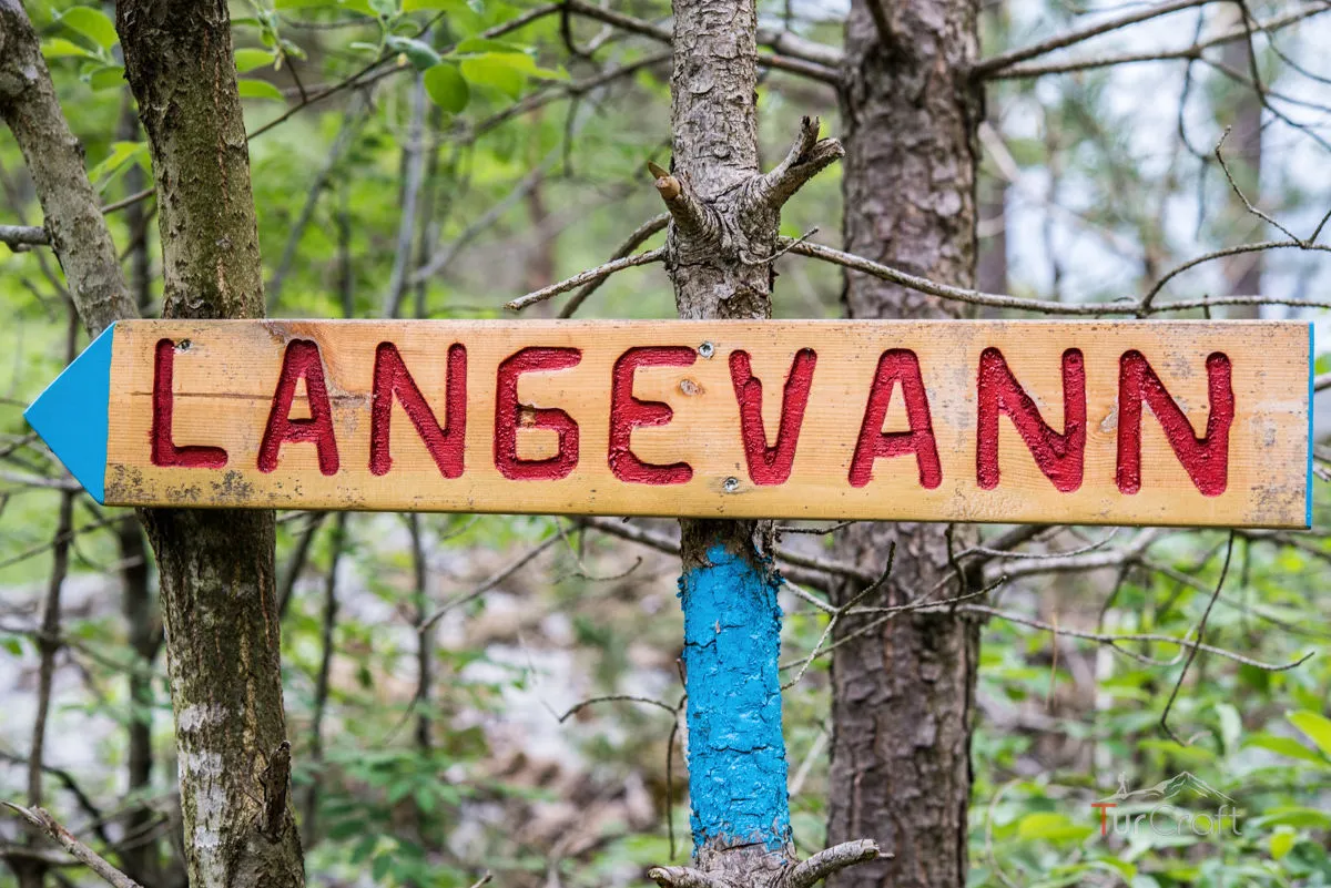
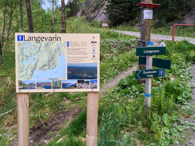
I started at the parking area beside the trail information, where the route did not try to look grand. A blue marker pointed into the day, and the first steps felt local, practical and easy to trust.
Langevann was not a famous summit story. It was a compact Norwegian route with gravel road, forest path, old buildings, Haugelandstrand, insects in the trees and a view from Dyreknuten that made the small effort feel wider than expected.
Route rhythm
My route rhythm
- 01Parking and blue markers
I begin at the trail information and follow the clear blue route marks.
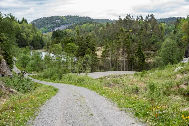
- 02Gravel road
The first section stays easy and open enough to settle into the walk.
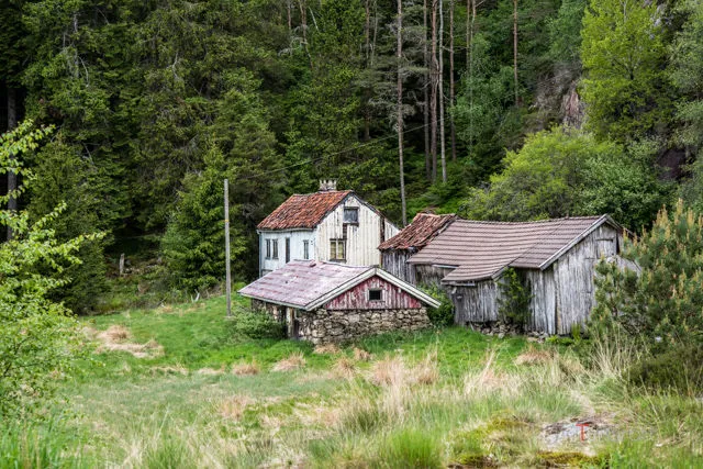
- 03Path toward Haugelandstrand
The route descends and old buildings start to give the walk a lived-in feeling.
- 04Water and cabins
Haugelandstrand becomes a natural pause near the water.
- 05Dyreknuten hills
The forest becomes steeper and more demanding, with insects making stops less relaxing.
- 06Viewpoint finish
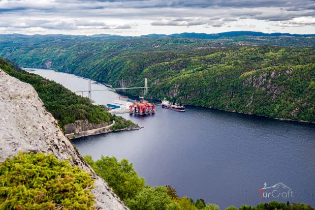
The route opens to a view of fjord, bridge, harbor and water.
Why I chose Langevann
I chose Langevann because it offered a different kind of Norway day. The route is about 8 kilometers and roughly two hours, which made it feel approachable, but it still had enough variety to avoid becoming a simple stroll.
The blue markings helped. They were unusual enough to remember, but clear enough that the route felt easy to follow. From the parking area, the walk moved from gravel road to path, then toward Haugelandstrand and the quieter signs of old buildings near the route.
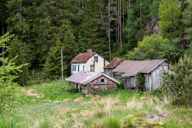
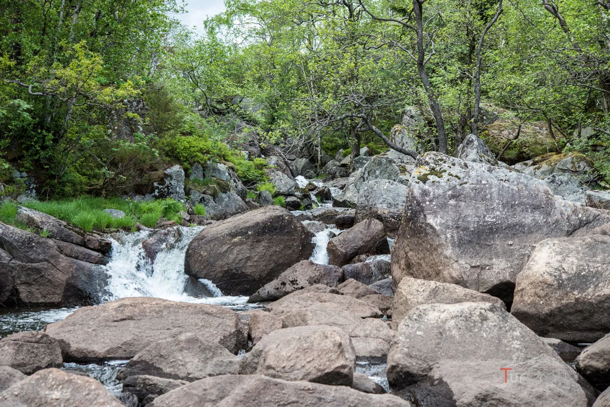
That mix mattered. Langevann did not need a dramatic summit to work. It had lakes, forest, small human traces, water access and the option to make the day harder by continuing toward Dyreknuten.
Before my Langevann hike: Haugelandstrand and route choices
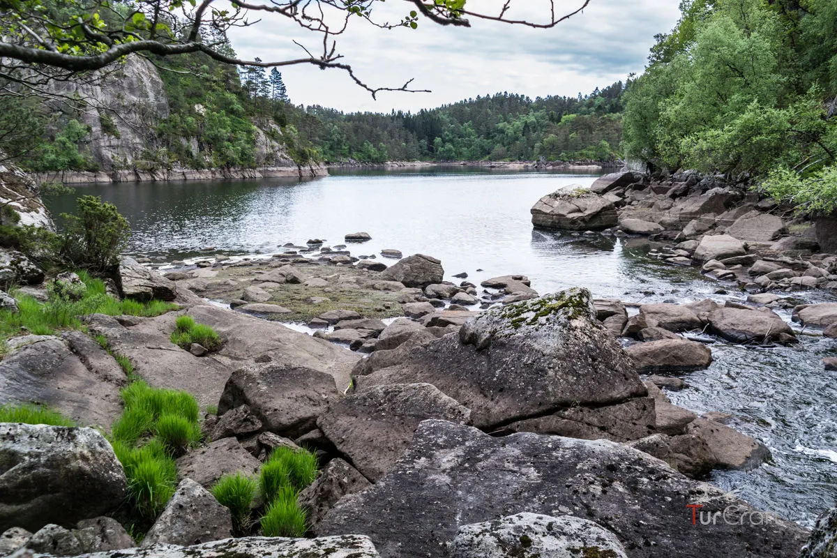
Haugelandstrand felt like the soft part of the day. I could imagine it as a summer base for travelers who like simple cabins, boats, swimming and quiet time away from the city. It was not polished luxury, but that was part of the appeal.
Accommodation and camping may be possible around Haugelandstrand, but I would check current booking rules before depending on any overnight plan. A short route can become awkward if the sleeping plan is assumed rather than confirmed.
Wildlife also changed the mood. Seeing deer and forest animals made the area feel alive, and it reminded me to move gently. The route may be close to roads and buildings in places, but it still belongs to the landscape first.
The Langevann trail: forest, insects and Dyreknuten
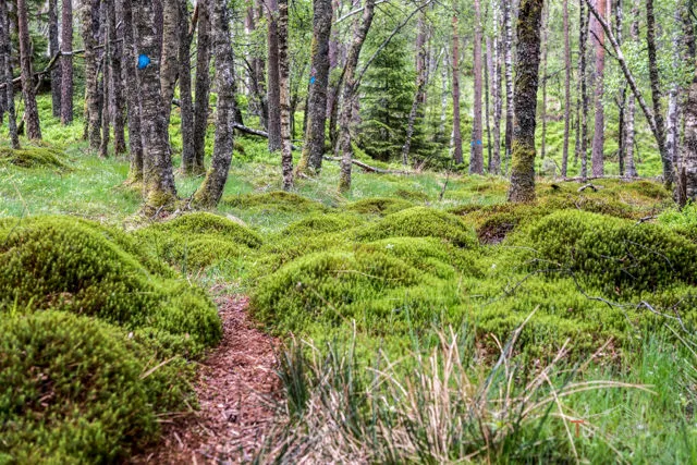
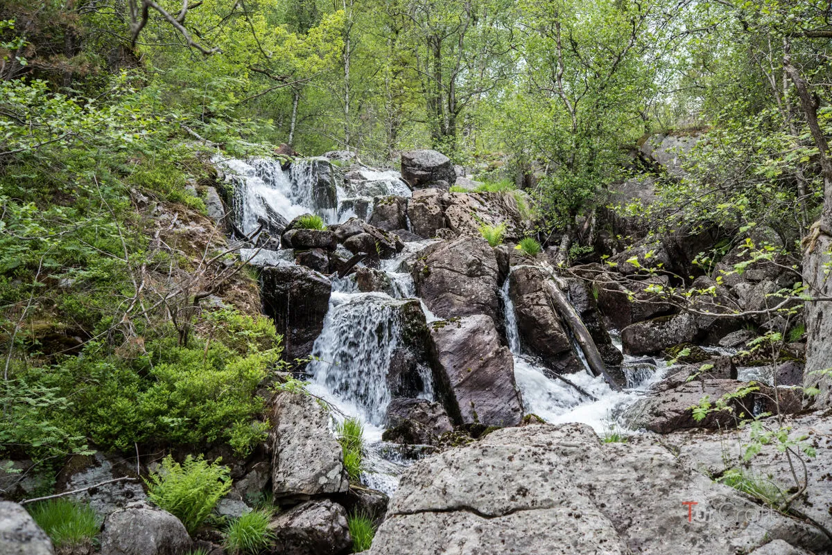
The Dyreknuten section gave the route its sharper edge. It required climbing several steep hills, though not technical rock climbing. The forest made the path feel enclosed, and the insects made lingering difficult.
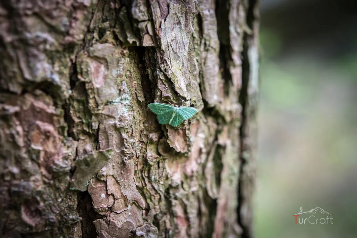
That detail stayed with me because it was so practical. A viewpoint route can look simple on a map, but if every pause brings mosquitoes, flies and small wasps, the rhythm changes. I kept moving more than expected, saving longer stops for places with air and view.
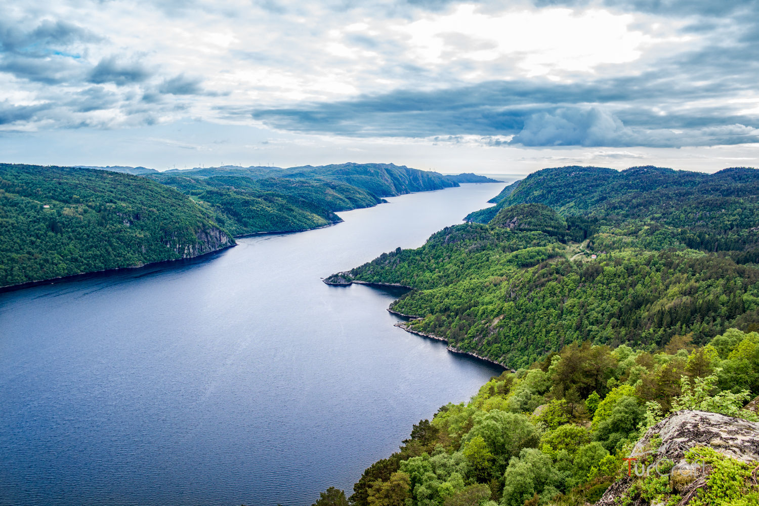
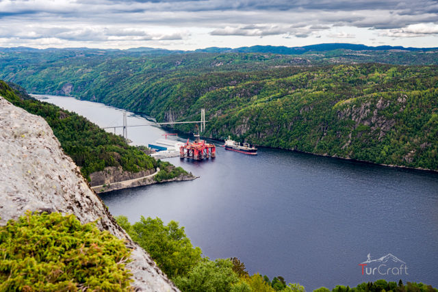
At the top, the reward was clean and calm: Norwegian nature opening toward fjord, bridge, harbor and platform on the water. A ship passing under the bridge made the view feel active, not just scenic.
Was Langevann worth the short effort?
For me, Langevann was worth it because it gave a lot without asking for a whole mountain day. It was a practical walk with texture: markers, road, path, old buildings, forest, insects, water and a viewpoint.
It would not be worth forcing as a casual family stroll if the group disliked steep forest hills or heavy insects. In that case, I would shorten the route and keep the day around the gentler sections.
Langevann stayed with me as a reminder that a small route can still have a complete shape.
FAQ
Langevann questions I would answer first
- How long is the Langevann hike?
- The old TurCraft route notes describe it as about 8 km and roughly 2 hours.
- Is Langevann difficult?
- I would call the main route easy to moderate, with the Dyreknuten hills adding the more demanding part.
- What is Haugelandstrand?
- It is a quiet water-side stop on the route, with simple cabin-style stays nearby. Check current booking rules before planning an overnight.
- What should I watch for on this route?
- I would watch for wet ground, forest insects, route choices and whether the group is ready for the steeper hills.
Photo essay
Field notes in images