Ryfylke, Norway
Preikestolen Hike — What the Trail Actually Feels Like
Alva's Preikestolen hike above Lysefjord — an 8 km, 3–4 hour trail story with honest notes on timing, crowds, weather, families, dogs and the exposed cliff edge.
Trail story
Route basics
At a glance
- Distance
- 8 km round trip
- Duration
- 3–4 hours
- Difficulty
- Moderate
- Best months
- May–September
- Start
- Preikestolen Basecamp
- Trail
- Out and back
- Parking
- Paid parking at Preikestolen Basecamp
- Elevation
- About 500 m
NoteThe cliff edge has no barrier. Weather, crowds, wet rock and daylight should shape the decision to continue.
On this page
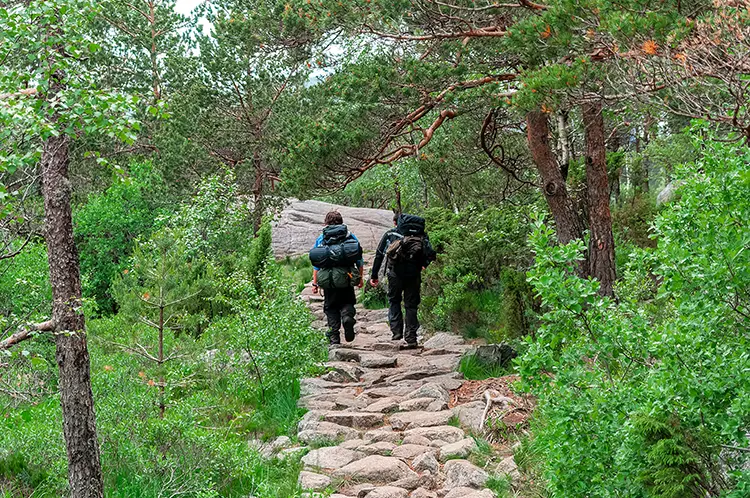
I am Alva, and I left Preikestolen Basecamp while the morning still held a little mist between the trees. The first stones were damp enough to make me check my footing, and the car park already felt like a place people were trying to move through quickly: zippers closing, car doors clicking, someone shaking rain from a dark jacket before shouldering a pack. I did not want to carry that rush up the mountain.
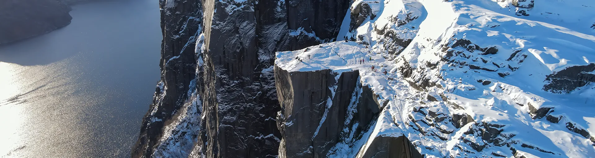
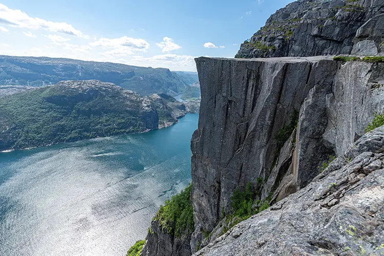
Preikestolen is famous because the final image is simple: a flat rock ledge, Lysefjord far below, people standing where the land seems to stop. Pulpit Rock is the name many travelers search for before they arrive, but on the trail it felt less like a single landmark and more like a sequence of small decisions. Forest first. Lakes between the trees. Bridges over softer ground. Stone steps, wet rock, shifting light, then the exposed plateau where the photograph suddenly becomes a real place.
Route rhythm
My route rhythm
- 01Preikestolen Basecamp
I leave the car park and let the first minutes set a steady pace.
- 02Forest path
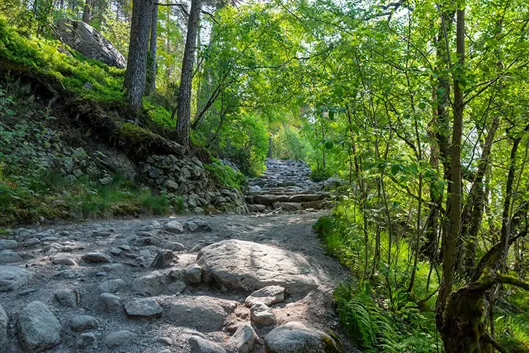
The trail climbs through trees, stone and root, with the day still partly hidden.
- 03Lakes and wet ground
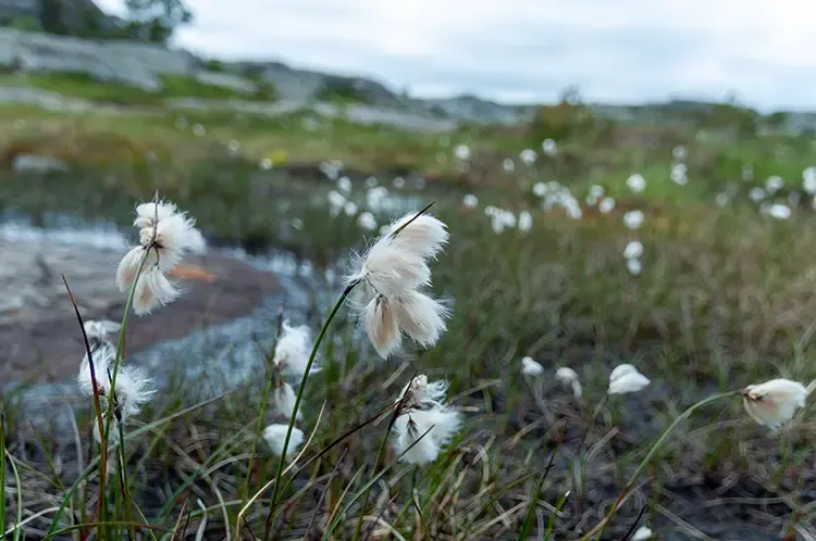
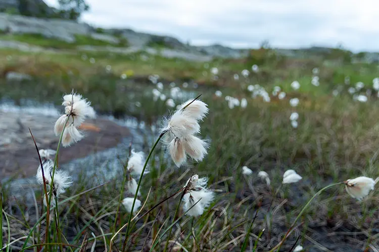
Small lakes and marshy sections slow the rhythm in a useful way.
- 04Wooden bridges
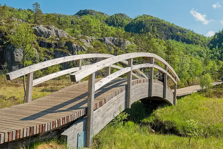
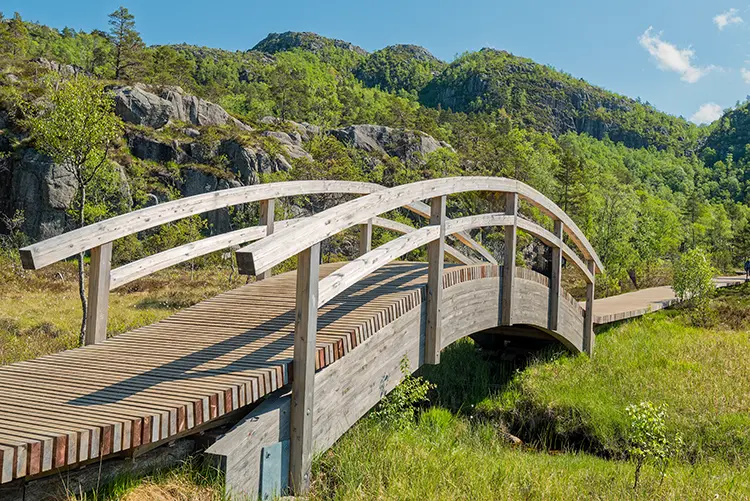
The footbridges carry me over softer terrain before the route turns rockier again.
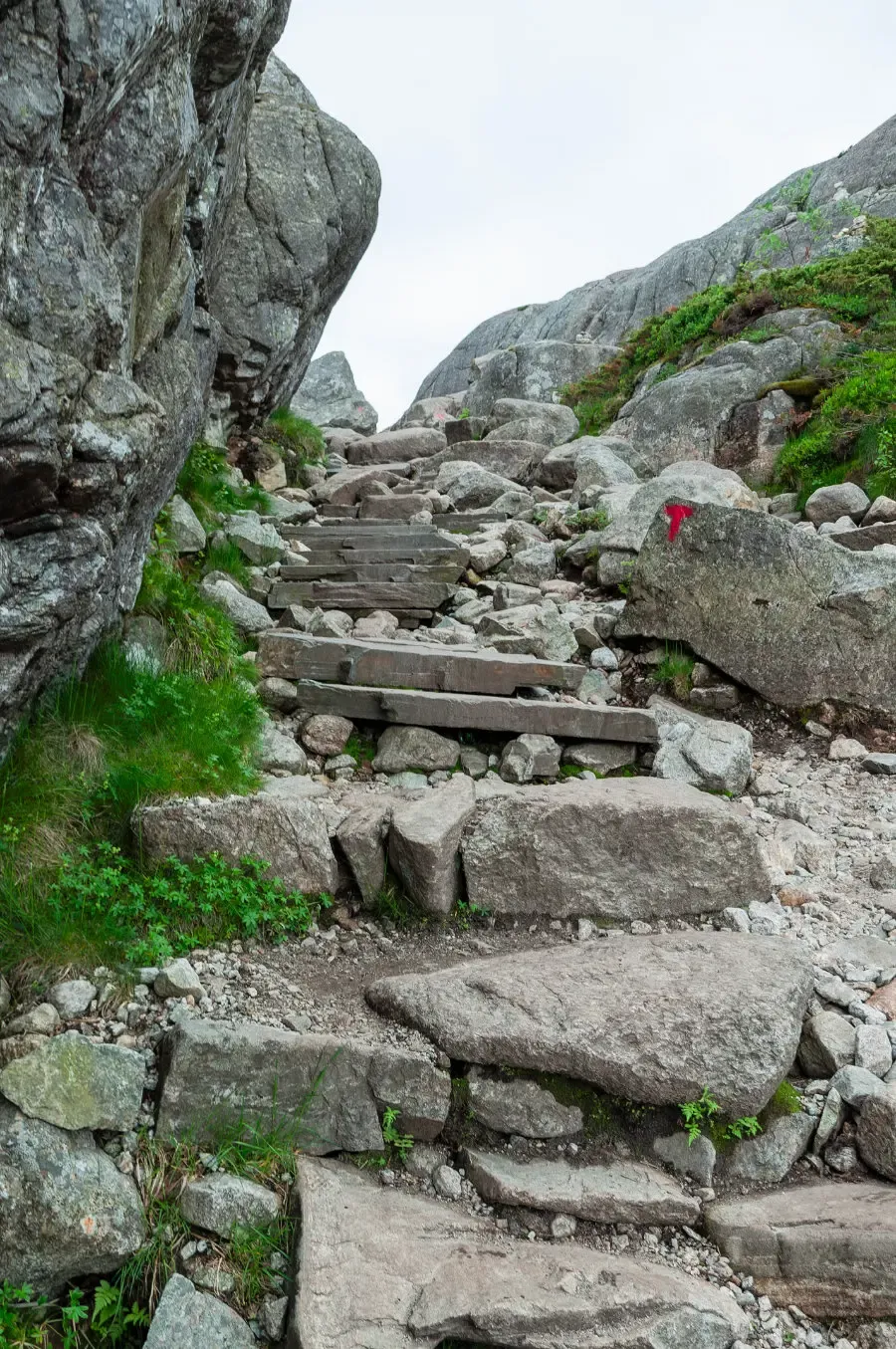
- 05Stone steps and slabs
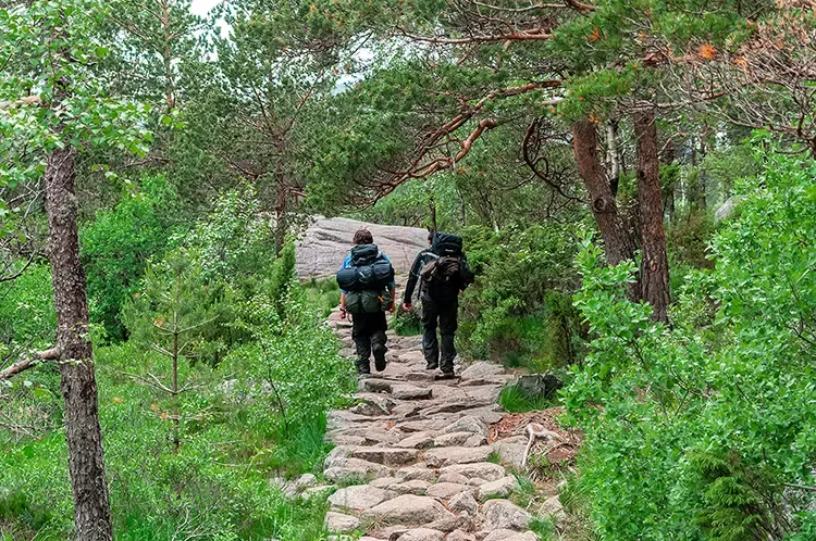
The climb asks for patient footing more than speed.
- 06Preikestolen plateau
The fjord opens at the cliff, and the return uses the same attention in reverse.
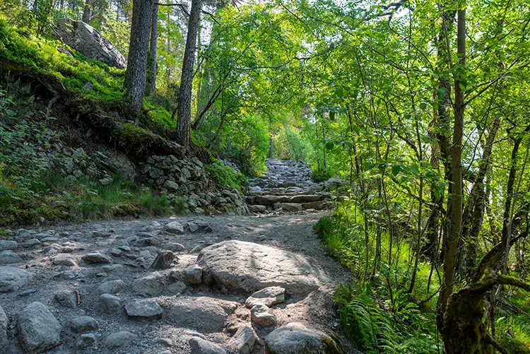
The lower trail is part of the day, especially when the first hour is still quiet and the forest still holds the morning shade.
Why I chose Preikestolen
I chose the Preikestolen hike because it gives a clear mountain day without needing to become an expedition. The route is about 8 kilometers round trip from Preikestolen Basecamp, commonly planned as a 3-4 hour walk, with about 500 meters of ascent. Those numbers make it sound compact. The uneven stone makes it feel more serious.
The trail is popular for good reason. It leads to a cliff about 604 meters above Lysefjord, and the scale of the fjord is easy to understand from the edge. Still, the best part of the day was not only the view. It was the way the route built slowly: enclosed forest, small openings, wet ground, wooden bridges, stone steps, then wider rock where the fjord began to feel close. For the wider day around the hike, I would use the Stavanger to Preikestolen route as a starting point rather than trying to attach Pulpit Rock to a crowded list of stops.
May to September is the easiest season to plan around, but the calendar is only a starting point. Wet rock, low cloud, wind, snow patches, a tired group or a late start can all change the character of the hike. I wanted a day where the trail could stay steady instead of becoming a race against weather or daylight; for Norway, that usually means treating weather windows as part of the route, not as an afterthought.
Before my Preikestolen hike: access and preparation
At the trailhead, I kept the preparation ordinary and strict. Boots with grip mattered more than anything stylish. A waterproof layer went into the pack even though the morning looked workable. I carried water, snacks and enough patience to stop without turning every pause into lost time. Near the first sign, a small group unfolded a paper map that had already gone soft at the corners; nobody looked lost, exactly, but everyone looked like they were negotiating with the same grey sky.
Preikestolen Basecamp is the usual start point, with paid parking and trail services nearby. From Stavanger, many travelers reach the area by road through the Ryfylke tunnel, while public transport and seasonal hiking connections can also be part of the plan. I would check current transport, road and parking information before choosing the day, because those details change more easily than the mountain.
Starting early helped because it gave the trail more room before the busiest hours. It did not make the route empty, and I would not plan Preikestolen around the fantasy of having the cliff to myself, but it gave me a calmer first half and more time to adjust if the weather changed. If clouds sat low, wind felt strong, or the group was already tired before the route began, Preikestolen was better moved than forced.
The Preikestolen hike: forest, bridges and cliff edge
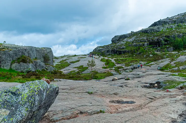
The first section moved through forest, with rock underfoot and water audible in places before it was visible. It did not feel remote, but it did feel like a transition. The road and car park dropped away, and the rhythm became simpler: step, breathe, check grip, let faster hikers pass. A wet smell came up from the boards in the marshy section, mixed with pine needles and the faint rubber scent of rain covers brushing against packs.
Small lakes and marshy ground gave the route its softer middle. The wooden bridges were not dramatic, but they changed the texture of the walk. They made me slow down and notice the wet land around me instead of treating the lower trail as something to get through. That part mattered, because Preikestolen can become too focused on the final photograph.
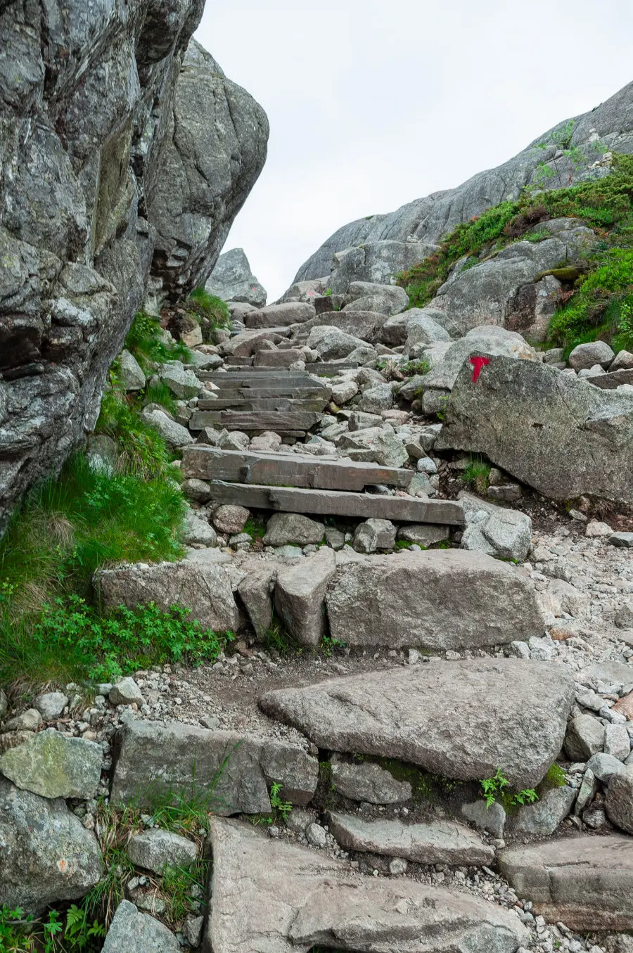
Higher up, the route became more direct. Stone steps and rocky ledges asked for steady legs. Trekking poles can help on both the climb and descent, especially for hikers who want extra balance, but the more important tool was attention. I kept my pace below the point where breathing became the only thing I could hear. The same practical approach works on other mountain days too; if Preikestolen feels like the first step toward more Norway hiking, the Jotunheimen planning notes are a useful next read.
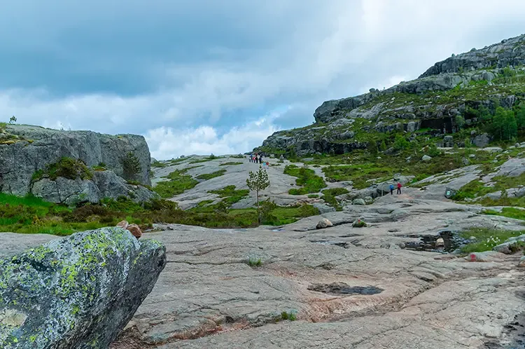
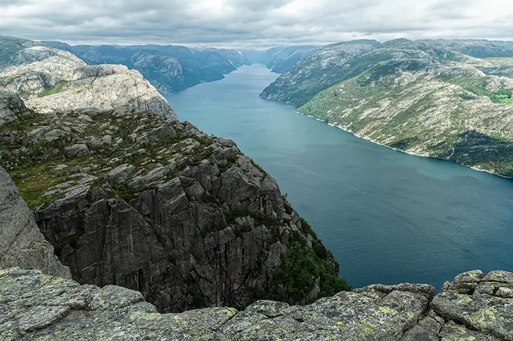
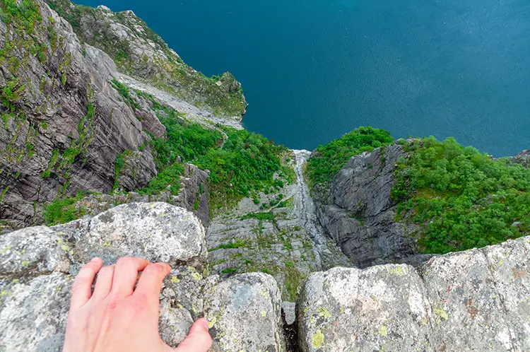
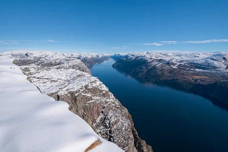
Near the plateau, the view started to open in pieces. Then Lysefjord arrived all at once. The rock shelf itself felt wider than I expected and more serious than the photos make it seem. There is no barrier at the edge, and the absence of one changes the way you stand. I gave people space, stayed back when photos became too focused on the drop, and let the view be enough without needing to test the edge. Somewhere behind me, a metal bottle rolled a short distance over the rock and everyone nearby turned at the same time; a tiny sound, but sharp enough to cut through the wind.
The return was easier in effort but not automatic. Downhill stone and tired legs can make simple steps careless. I used the same route back, kept breaks short and useful, and saved enough attention for the lower rocky sections. The hike finishes better when the descent is treated as part of the day, not as an afterthought.
Was the Preikestolen hike worth the effort?
For me, Preikestolen was worth it because it held both clarity and restraint. The route has a famous ending, but the walk does not need to become a performance. If the weather is stable, the trail is dry enough, and the day has space around it, Pulpit Rock gives a clean sense of scale that few short hikes can match.
It would be less worthwhile if I had to rush. Heavy rain, strong wind, low cloud, icy sections, poor visibility or a tired group would change the answer. In winter, the hike becomes a different kind of day, with snow, ice and colder conditions requiring more experience and equipment. I would not treat a winter Preikestolen hike as the same moderate summer walk.
I was glad I had not planned a second demanding stop straight after it. By the time I was back at the base, my legs were fine, but my attention was used up in a way that felt familiar after a good hike.
What I would remember
I would remember the forest path first, because it made the famous hike feel grounded before it became grand. The wooden bridges came next in my mind: wet boards, soft ground below, then the stone returning under my boots. On the plateau, the wind made the fjord look quieter than it felt, and the edge made every movement more deliberate.
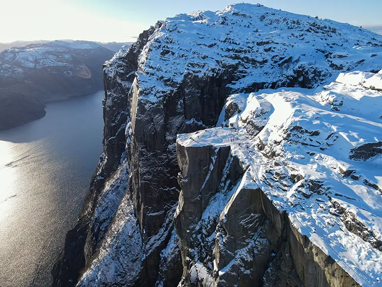
Leaving without regret mattered too. Preikestolen did not need every possible photo, every angle or every extra stop around it. I was glad I had arrived with enough care to stand there calmly and enough patience left for the walk back.
FAQ
Preikestolen hike questions I would answer first
- How long does the Preikestolen hike take?
- The Preikestolen hike takes 3 to 4 hours for most hikers on the 8 km round trip from Preikestolen Basecamp, not counting breaks. I would add margin for photos, crowds, weather changes and the descent.
- Is the Preikestolen hike difficult?
- For me it is moderate in normal summer conditions: not technical, but rocky, uneven and exposed enough to deserve proper footwear and attention.
- Is Preikestolen safe for families?
- Active children used to hiking can manage it, but I would keep them close on the plateau and anywhere wet rock or crowds make movement less predictable.
- Can I bring a dog on the Preikestolen hike?
- Yes, but I would keep the dog on a leash and choose a dry, stable day. The rocky sections and exposed summit are the real considerations.
- When is the best time to hike Preikestolen?
- I would look first at May to September, then choose the actual day by weather, visibility and trail conditions. In July and August, an early start helps with crowds.
- Does the Preikestolen cliff have a barrier?
- No. I treated the edge with care, gave other hikers space and did not let the photo become more important than safe footing.
- Is Preikestolen the same place as Pulpit Rock?
- Yes. Preikestolen is the Norwegian name, and Pulpit Rock is the common English search name for the same cliff above Lysefjord.
Map
I used the map as orientation, not as a promise that the day would be right. Before leaving, I checked current weather, trail conditions, parking and transport, then saved the route offline so the basic line was available even when signal was weak.
Photo essay
Field notes in images