
Norway
Alva's Trolltunga hiking story
Alva's Trolltunga hike in Norway — a demanding 20 or 27 km round trip, depending on the trailhead, with honest notes on parking, crowds, snow and the return.
Trail story
Route basics
At a glance
- Distance
- 20 km from P3 or 27 km from P2, round trip
- Duration
- 7–10 hours from P3 or 8–12 hours from P2
- Difficulty
- Demanding
- Best months
- Summer season, depending on snow and trail conditions
- Start
- P2 Skjeggedal or P3 Mågelitopp
- Trail
- Out and back
- Parking
- Paid parking, with several start options
NoteParking access, snow, weather and trail rules can change. Check current Trolltunga information before leaving.
On this page
I started lower than the busiest trailhead because the nearer parking was already full. It added distance before the real hike had even begun, but it also gave me a quieter entrance to Trolltunga and a useful reminder: the famous rock is only the last chapter of a long day.
The route ahead was marked, managed and popular, but it still belonged to the mountain. Snow patches, cold air, stairs, bridges, ropes and long stretches of walking made Trolltunga feel more serious than the photographs suggest.
Route rhythm
My route rhythm
- 01Parking choice
I start by accepting that parking can shape the whole day.
- 02Approach to the trail
The first extra walking helps the route feel less rushed.
- 03Marked mountain path
Signs, stairs, bridges and fixed aids keep the route clear but not effortless.
- 04Snow and cold sections
The weather and remaining snow change how careful each step feels.
- 05Trolltunga viewpoint
The famous rock is powerful, but waiting for the photo stays optional.
- 06Long return
I save energy for the same distance back.
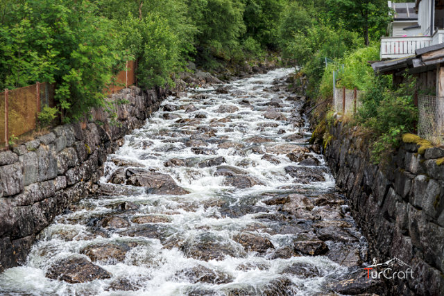
Why I chose Trolltunga
I chose Trolltunga because it is one of Norway’s most recognizable hikes, but I did not want the name to flatten the day into a queue and a photograph. The trail has its own rhythm: parking logistics first, then a long approach, then mountain terrain, then the view.
The standard options differ substantially. From P3 Mågelitopp, the official route is about 20 kilometers return and normally takes 7-10 hours. From P2 Skjeggedal, it is about 27 kilometers return and normally takes 8-12 hours. Trolltunga is not a small scenic stop. It needs food, water, clothing, daylight and enough patience for the return.
Parking also shapes the experience. There are several options in the Skjeggedal and Magelitopp area, and the closer parking can be limited or require advance planning. I would check current rules before leaving, then choose the start point that makes the day calmer rather than simply shorter.
Before my Trolltunga hike: parking and preparation
Starting from the lower parking area made the day longer, but it reduced the stress of chasing a full lot. I used that extra distance as a warm-up. It gave me time to settle into the route before the more memorable sections began.
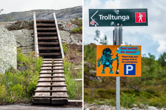
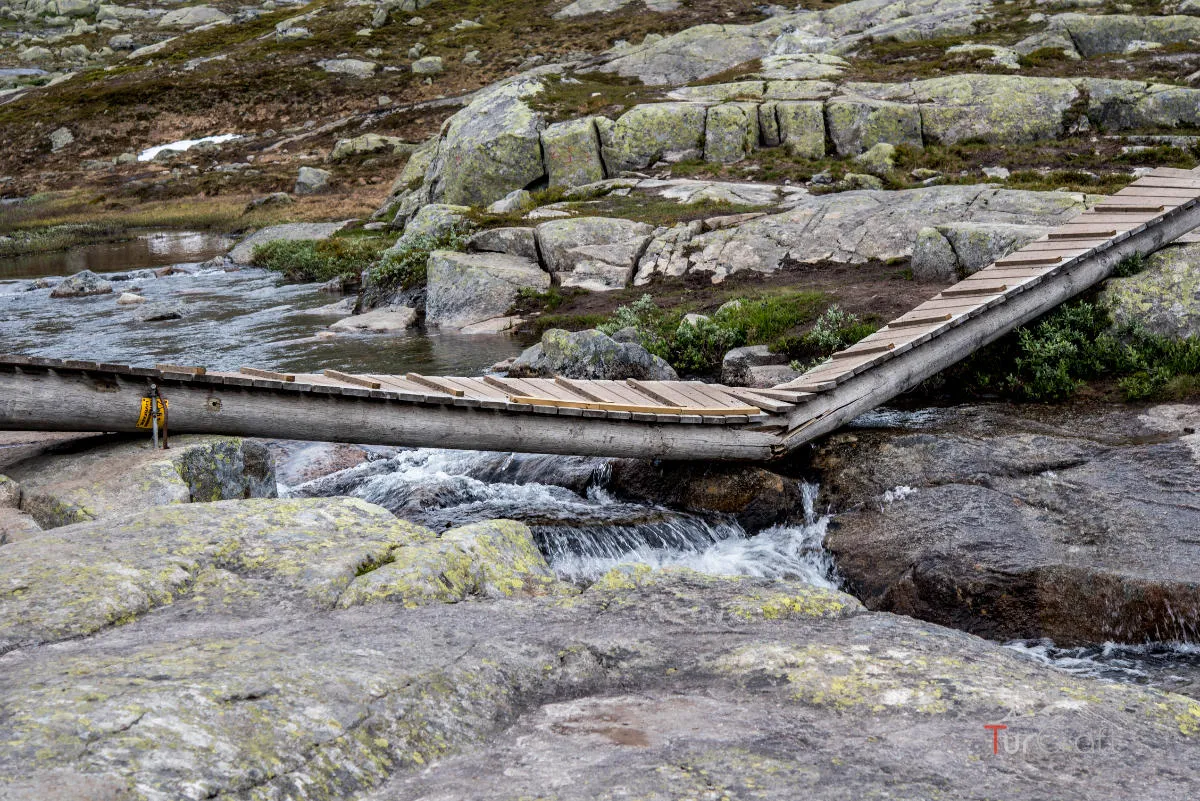
The trail itself was easy to follow, with signs and built features in places where hikers need help: stairs, bridges, arranged stones and ropes on steeper or more awkward sections. Those details made the route feel managed, but they did not remove the need for care.
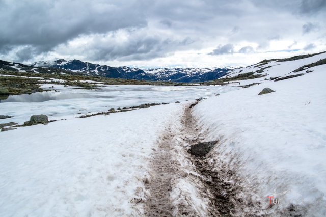
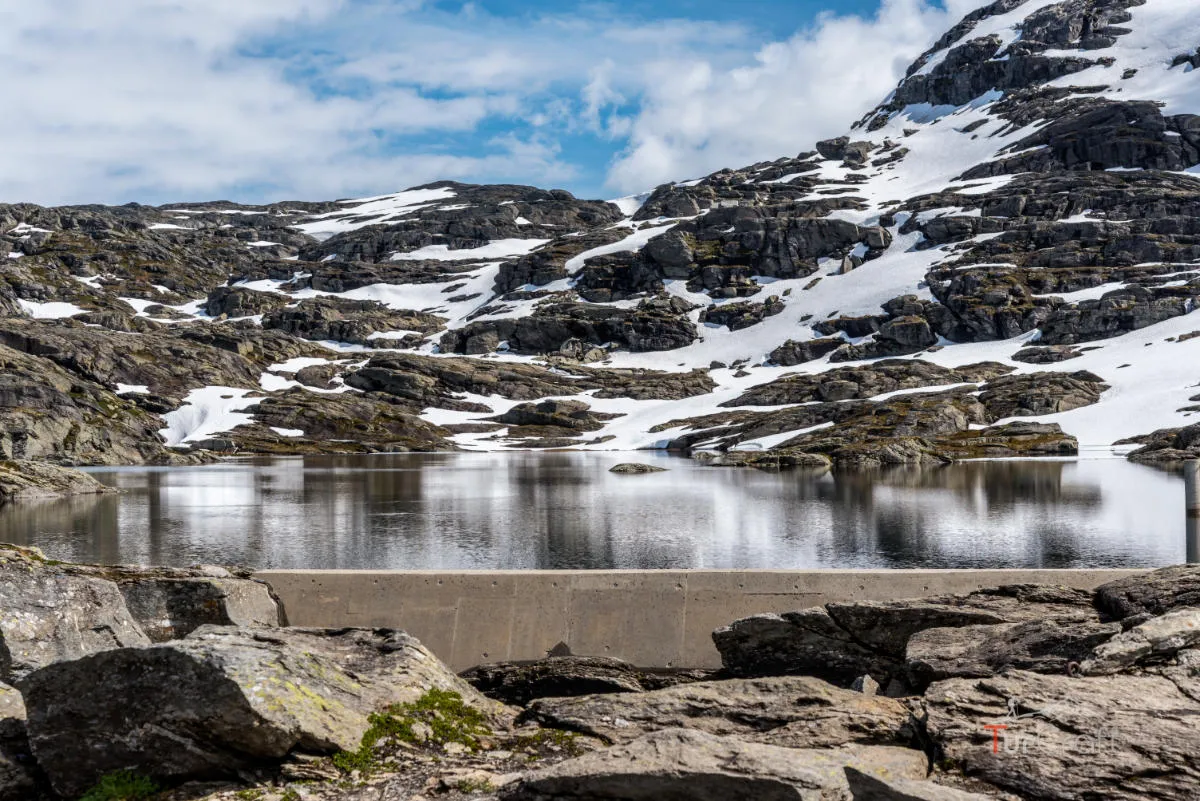
Snow can still appear on parts of the path. That makes the air colder and the footing more serious. I would not read a summer month as permission. I would check actual trail conditions and dress for the mountain, not the parking lot.
The Trolltunga trail: long path, famous pause
The walk to Trolltunga builds slowly. It is not only one dramatic climb, but a long series of decisions: when to eat, when to add a layer, when to pause, when to let faster hikers pass, when to keep moving because the return is still waiting.
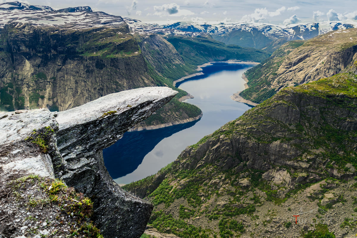
As I approached the viewpoint, the mood changed. The landscape opened, the famous rock became real, and the line for photos made the popularity of the place impossible to ignore. I understood the pull of the image, but I did not treat standing at the edge as something the hike required.
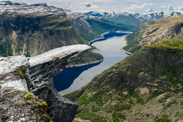
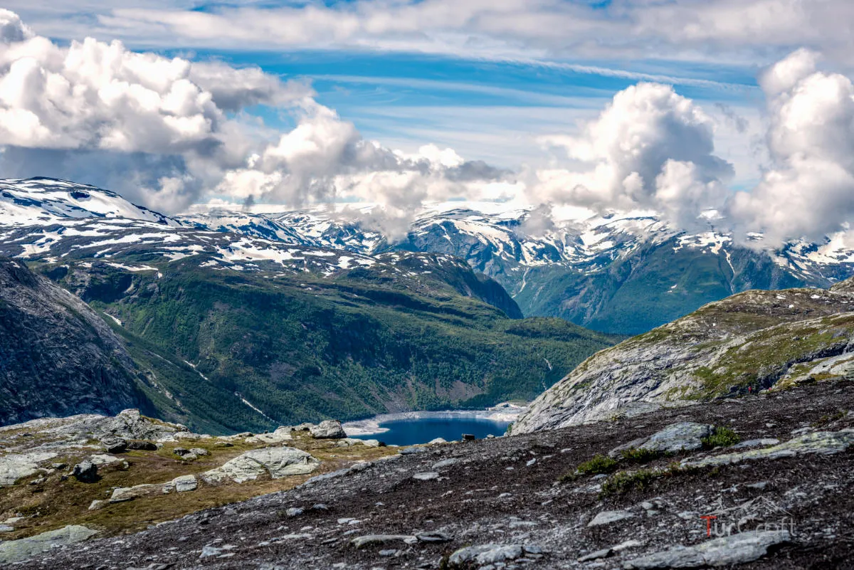
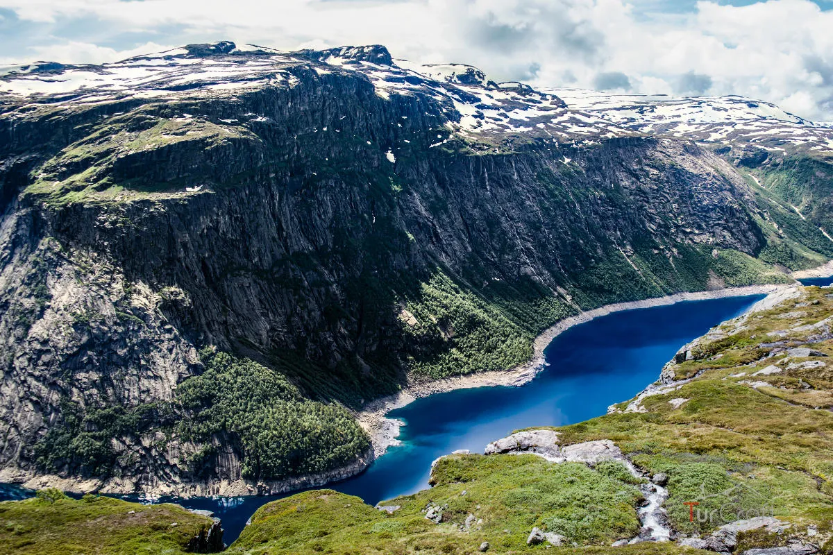
The view was still the reward: rock, water, cliffs and the strange feeling of being both very small and exactly where the day had been leading. But Trolltunga felt better when the photograph became one option among many, not the single reason to be there.
Was Trolltunga worth the effort?
For me, Trolltunga was worth it because the route earned the view. The long approach made the final place feel less like a backdrop and more like a true arrival.
It would not be worth forcing in poor weather, heavy snow, a late start or with a group already tired before the midpoint. The return is too important to treat as an afterthought. Trolltunga is famous, but the mountain still decides what kind of day it will be.
The memory I kept was not only the rock. It was the discipline of giving a famous place enough room to be real.
FAQ
Trolltunga questions I would answer first
- How long is the Trolltunga hike?
- Official guidance gives about 20 km and 7-10 hours return from P3 Mågelitopp, or 27 km and 8-12 hours return from P2 Skjeggedal.
- Where does the Trolltunga hike start?
- I would choose explicitly between P2 Skjeggedal and the shorter P3 Mågelitopp start, then check current access and reservation rules before leaving.
- Is Trolltunga difficult?
- Yes. I would treat it as demanding because of the distance, weather exposure, possible snow and the long return.
- Do you have to stand on the Trolltunga rock?
- No. I would keep the photo optional, especially if the weather, crowding or personal confidence felt wrong.
Photo essay
Field notes in images
Sources and current checks
Route information reviewed August 9, 2026.
- The hike to Trolltunga — Trolltunga Official